• Home
  • Introduction
    • Introduction to Selborne
    • Introduction to the Selborne LLCA
  • Character Areas
    • The Selborne to East Meon Scarp (5c)
    • Downland Mosaic – Character Area (3c)
    • Selborne Greensand Terrace – Character Area 6a
  • What is Important
  • Photo Library
    • Airtour (Hold cursor on photo for location, tap to enlarge)
    • Adderhood
    • Bradshott Lane
    • Sotherington Lane
    • Wellhead
    • Clays and Norrice Fields
    • Galley Hill
    • Kingsfield
    • Westcroft
    • Plum Fell Lane – The Punfle
    • Barnfield – Under the Hill
    • Honey Lane
    • Zig-Zag Path
    • Wadden
    • Gracious Street
    • Village
    • Church Meadow
    • Huckers Lane
    • Dortons
    • Short Lythe
    • Rifle Range
    • Long Lythe
    • Via Canonorum – Priory Lane
    • Great Mead
    • Five Fields Mead
    • Bush Down
    • Norton
    • Hangers Way SW-NE
    • Hangers Way NE-SW
    • Provence in Selborne
    • Flora & Fauna
  • Maps
  • Surveys
  • Historic Landscape
  • Biodiversity
  • Archive
    • Bibliography
    • Meeting Records
    • Surveys
  • Appendices
    • Acknowledgements

Airtour

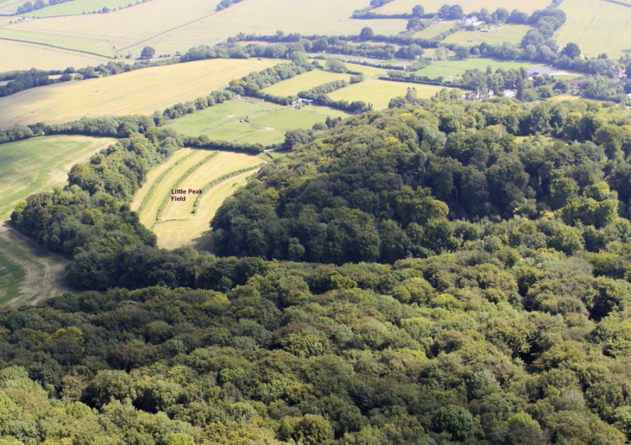
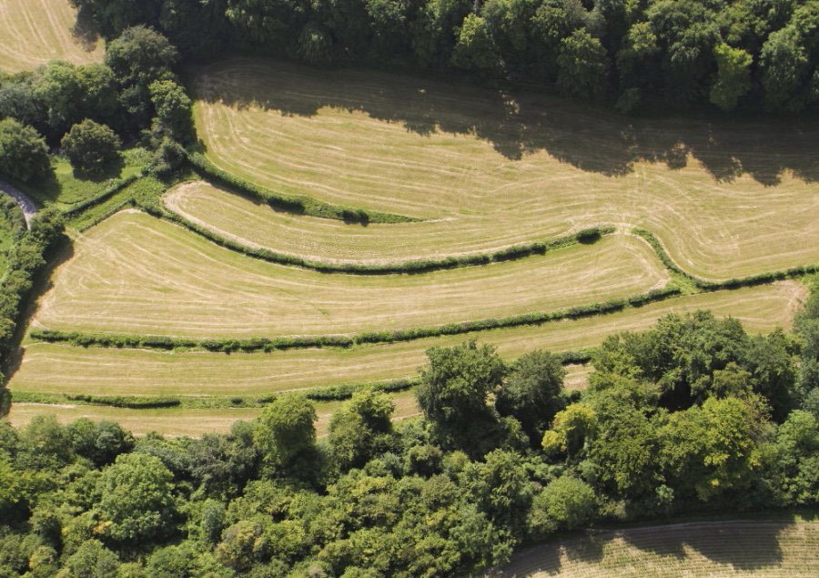
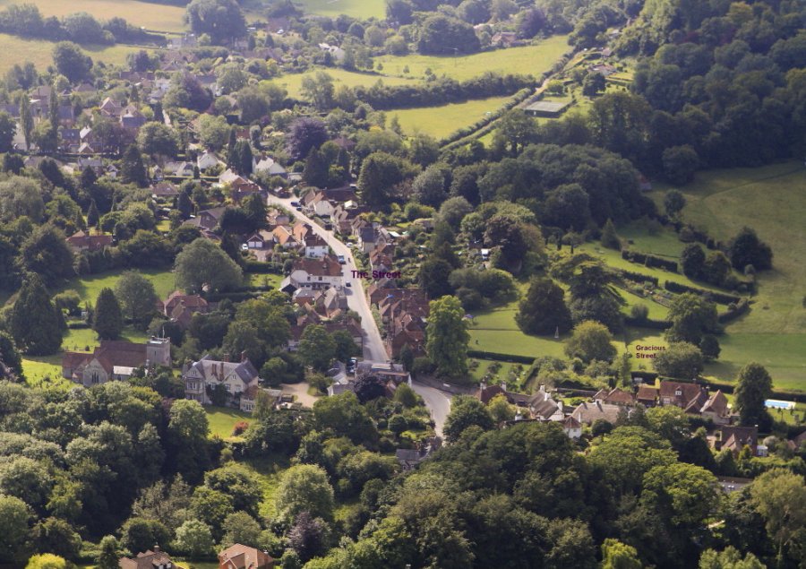
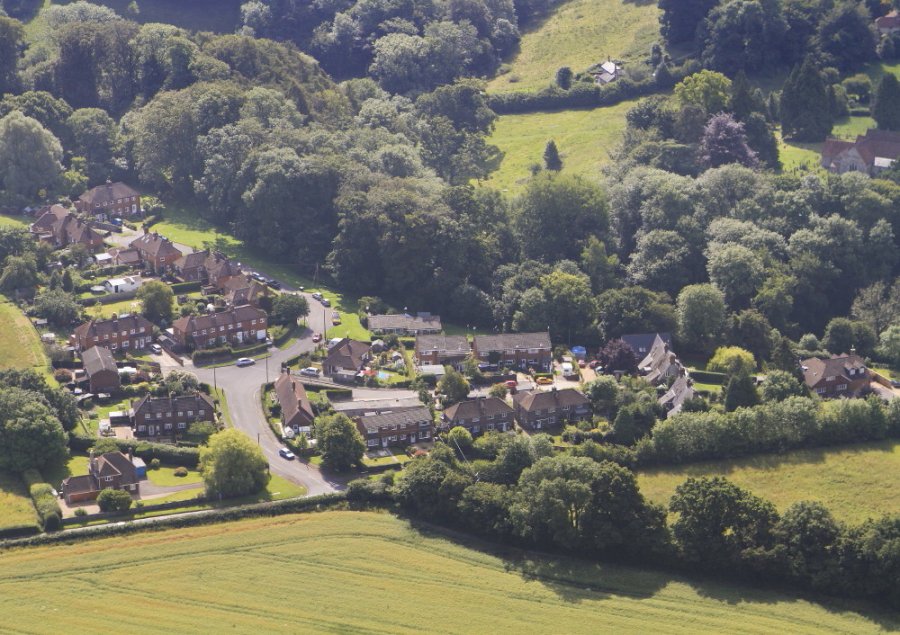
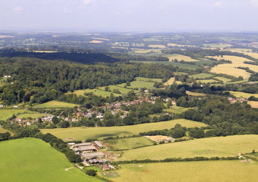
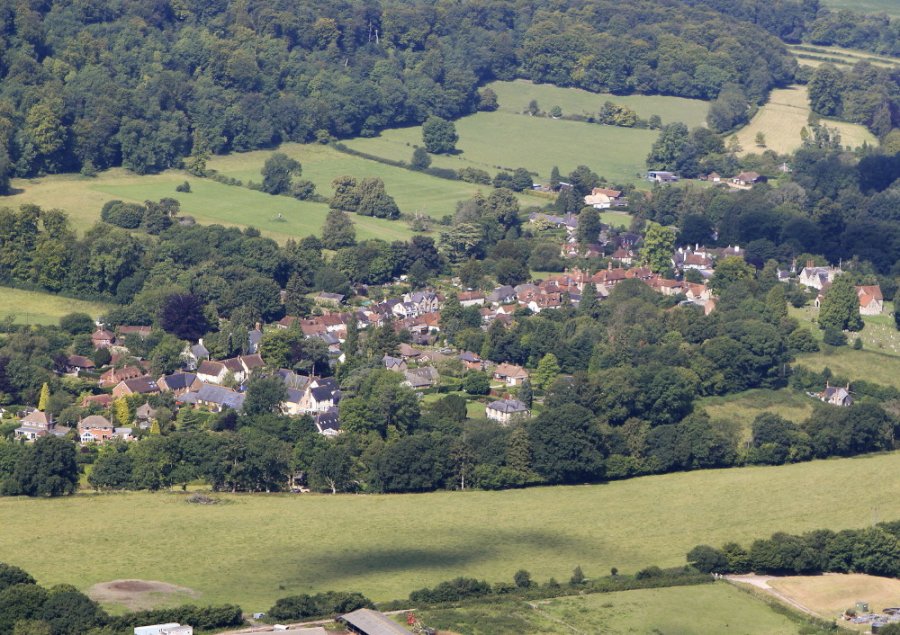
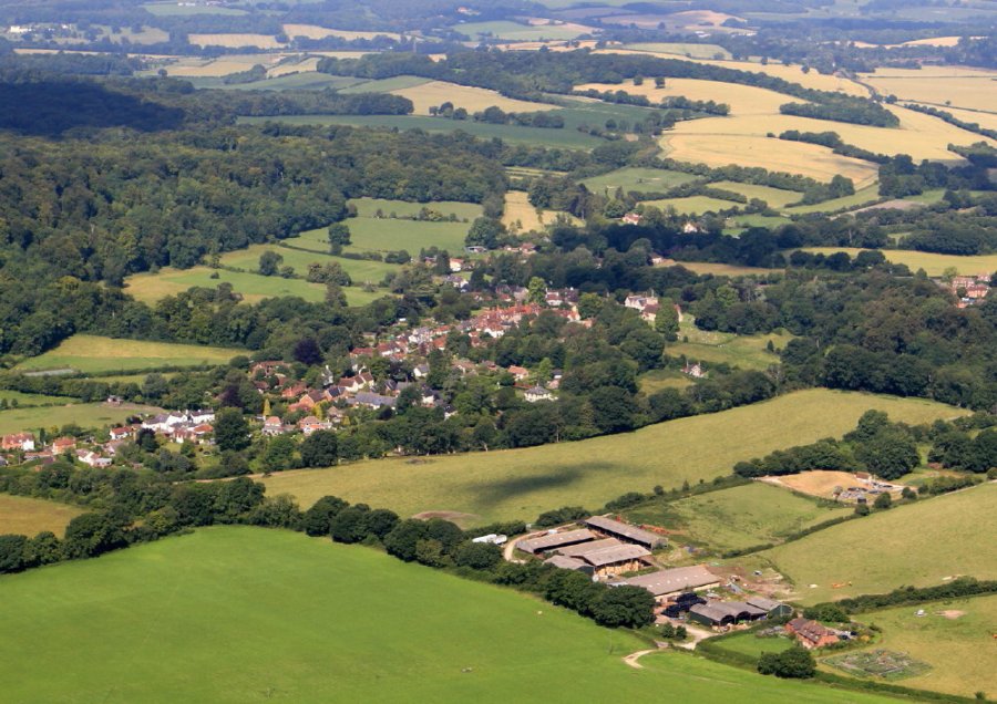
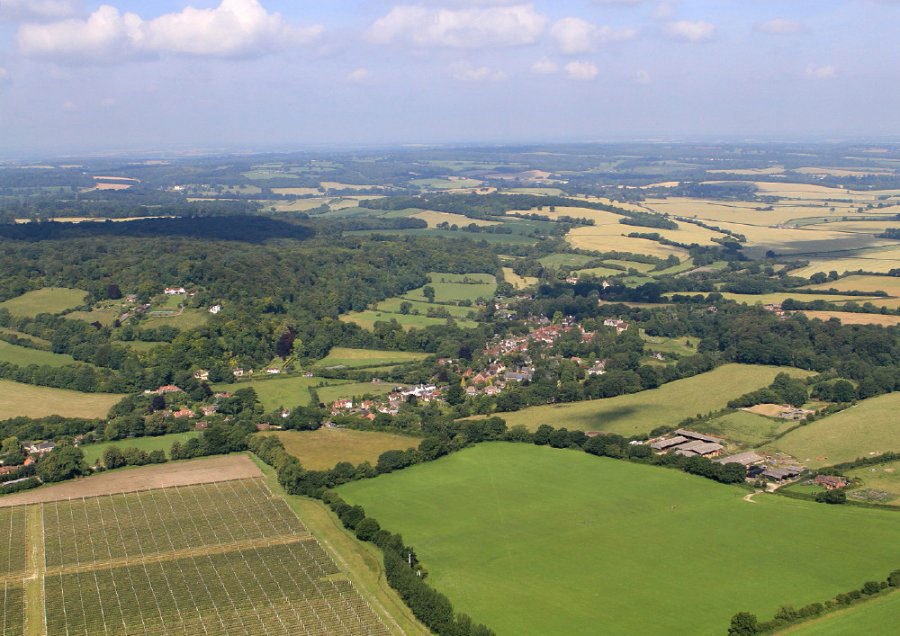
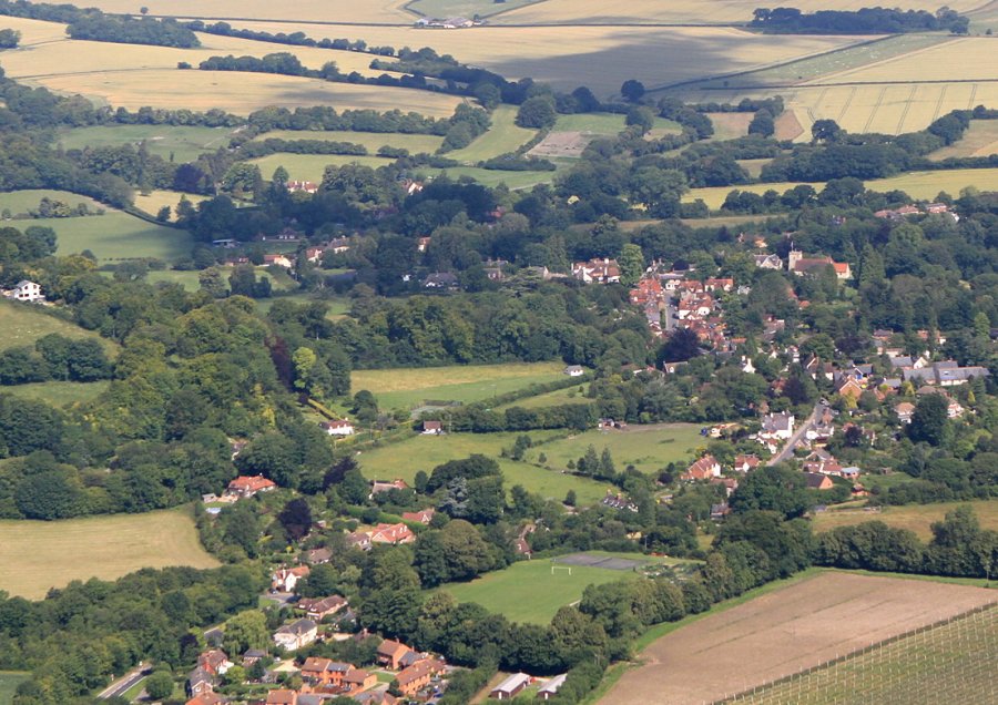
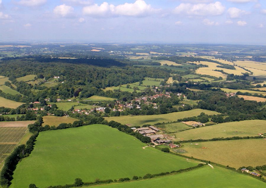
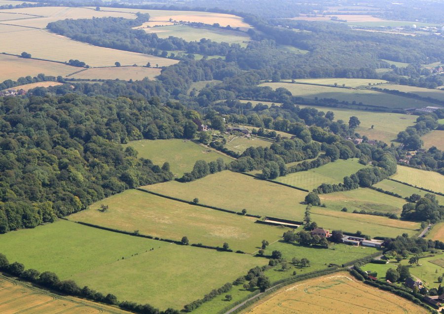
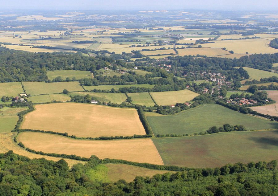
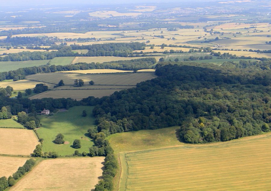
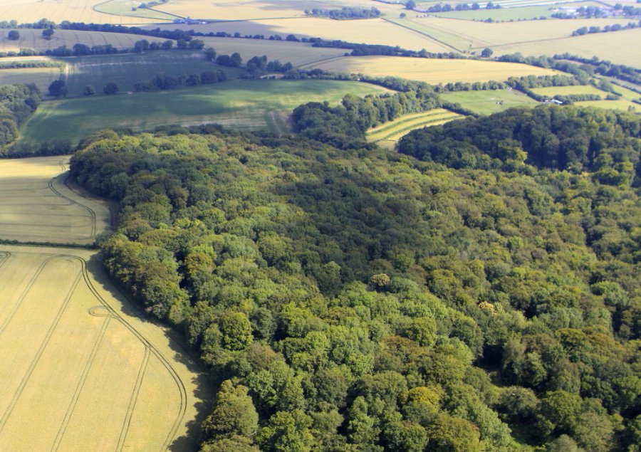
Air01. NW Corner of the Hanger with Newton Vallance Fields Air02. NW corner and the medieval Little Peak Field Air3 Air04 North. Gracious St and the Street Air05. Goslings Croft with Kimbers and Church Meadow Air06.-Wide-village-and-hanger-view-from-the-SE Air07. Closer village view from SE Air08. The village is linear and tightly bounded Air09 Barnfield Air10. The extreme southern end with Ketchers in the foreground Air11 Air12 Air13. The Kings Field Air14b Air15 Norrice and Clays Air16. The SW corner of the hanger, with Westfield, bounded by Green Lane in the foreground
[Show picture list]

Comments are closed.
  • Home
  • Character Areas
  • What is Important
  • Historic Landscape
  • Biodiversity
  • Archive
  • Acknowledgements